Search Term Record
Metadata
Search Term |
Map |
Number of Object records |
0 |
Number of Photo records |
39 |
Number of Archive records |
100 |
Number of Library records |
0 |
Related Records
-
-
-
-
-
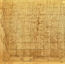
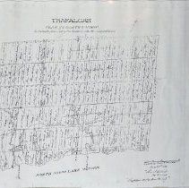
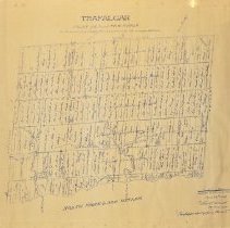
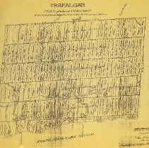
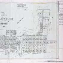
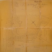
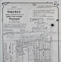
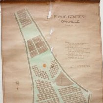
1806 Trafalgar Township Plan - surveyed by Samuel Wilmot. Shows 16 Mile Creek.
1806/ /
Record Type: Archive
-
-
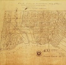
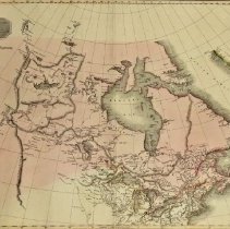
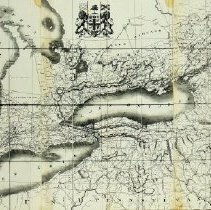
1826 Map of Upper Canada - compiled by James G. C. Hewitt, who was the assistant draftsman under the Surveyor General of the Province, Thomas Ridout Esquire.
1826/ /
Record Type: Archive
-
-
-
-
-
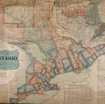
1873 Map of Ontario - done by W. J. S. Holwell to help advertise free grant lands and passages to prospective immigrants.
1873/ /
Record Type: Archive
-
-
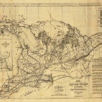
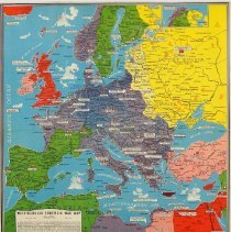
1911 Map of Ontario - shows municipal counties, districts, townships, as well as railway and steamship lines.
1911/ /
Record Type: Archive
-
-
-
-
-
-
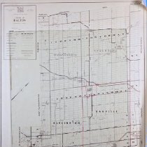
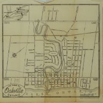
1963 Map of Halton - includes Oakville, Burlington, and major highways.
1963/ /
Record Type: Archive